Svartifoss - Sjónarsker - Sel
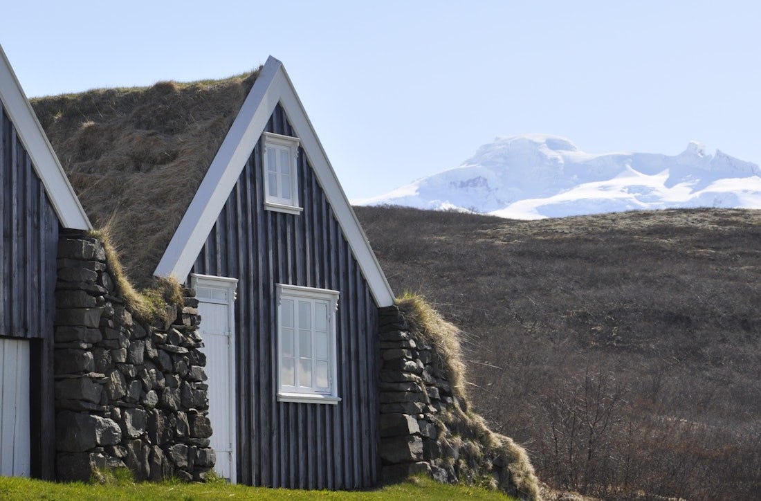
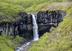
Svartifoss with its beautiful columnar rocks is one of the highlights of Skaftafell, but the path through the forest offers a unique experience at any time of the year. On the way you can admire Hundafoss and Magnúsarfoss, from Sjónskeri the views are wide to all directions in good visibility and the old sod house in Sel.
The surface of the footpaths on this route is mostly well-compacted soil or mats. Paths are usually wide enough for 2-3 people to walk side by side. It is worth pointing out that the route leads up to the Skaftafell hill and the elevation is about 250 m in total. Along the way there are quite a few wooden steps and platforms and stone steps. During wet season in summer, the trail surfaces can become slippery. In winter, the path can be very slippery and/or covered in snow. Walkers are advised that the route can be challenging for those with weak legs or in poor health.
The trail starts next to Skaftafell Visitor Centre and is well indicated. The first 250 meters go through the campground but the trail then turns right and uphill. Follow the signs until you arrive at a viewpoint above the waterfall (140 m ascent in 1.5 km). Continue down into the ravine, across the footbridge, and climb up the basalt column steps on the other side of the ravine. Continue on this trail to the viewpoint at Sjónarnípa, then head back towards the old turf house at Sel and then back to the visitor centre via Lambhagi.
Hiking
Skaftafellsheiði
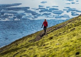
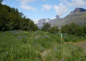
Walking around Skaftafellheiðina offers a challenging but interesting walk through a varied landscape; Lush birch forest and mountainsides with the Morsárjökull and Skaftafellsjökull glaciers on either side of the heath and the flat Skeiðarársandur in the south.
Svartifoss - Sjónarnípa
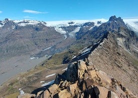
The main advantages of this route are the magnificent view to Kristínartindar, Hrútfjallstindar and Öræfajökull, and as it gets closer, Skaftafellsjökull opens up to hikers. Stopping at the pillar rock-adorned Svartafoss puts the dot on the i. In the spring and early summer, there is a rich birdlife on the way, which is worth enjoying while taking into account nesting and rearing activities.
Kristínartindar
Walking to Kristínartinda, in good visibility, offers a view of the mountains in Öræfi, the southernmost part of Vatnajökull and the sandy beach of Skeiðarársandur. The hike is difficult and only for experienced hikers. The trail mostly follows the same route as the route around Skaftafellsheiði, except for the top part along the peaks themselves.
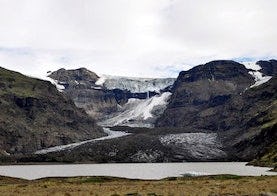
Morsárjökull
Morsárjökull is a scenic glacier in Morsárdalur valley. The ice falls of the cliff and in summer time hikers can often hear the ice falling. On top of the glacier lays a landslide from 2007.
Bæjarstaðarskógur
Those who are going to Bæjarstaðarskóg can choose a marked path that leads to Jökulfell and the ravines at Bæjarstaður. From there it is ideal to walk the path through the forest and across the valley, and then follow the path along Morsá back. You can also go diagonally up Grjóthóll and Vesturheiði and back down at Bæjargil (see route M2 and M3 on the map).