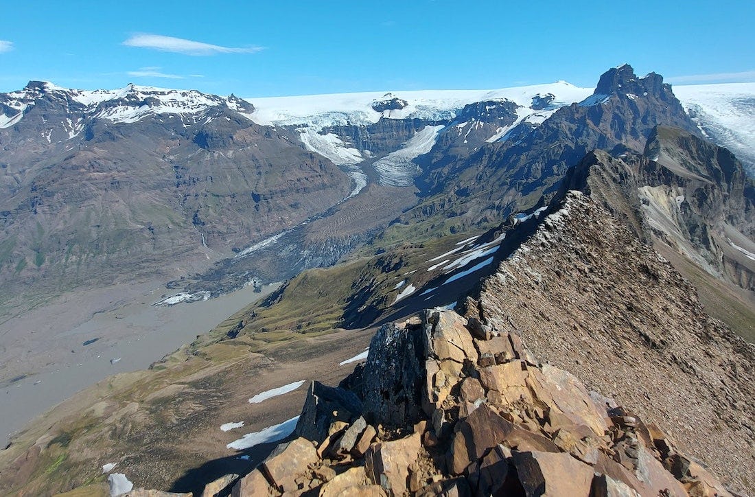
Kristínartindar
Walking to Kristínartinda, in good visibility, offers a view of the mountains in Öræfi, the southernmost part of Vatnajökull and the sandy beach of Skeiðarársandur. The hike is difficult and only for experienced hikers. The trail mostly follows the same route as the route around Skaftafellsheiði, except for the top part along the peaks themselves.
The route starts from Skaftafell Visitor Centre and is the same as if you were going to Svartifoss. It is possible to go all the way to Svartifoss and then head on to Sjónarsker, but the shortest way is to cross the river on the walking bridge next to Magnúsarfoss and from there head to Sjónarsker.
From Sjónarsker the path goes all the way towards Kristínartindar. When arriving at the crossroads at the foot of Kristínartindar turn left and follow the trail through the steep rock scree, all the way to the top of ridge. Then turn left and continue all the way up to the top.
To go down you return the same way as you came up, with the exception of that when you arrive back at the ridge you should continue on the path that goes to the left. That path will take you down towards Gláma. From Gláma, continue down to Sjónarnípa and then onwards to the visitor centre/campground via Austurbrekkur.
Please note that the trail to Kristínartindar is usually closed from early spring and sometimes through June because of thawing conditions. There are no alternative routes to Kristínartindar.
Hiking
Skaftafellsheiði
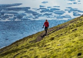
Walking around Skaftafellheiðina offers a challenging but interesting walk through a varied landscape; Lush birch forest and mountainsides with the Morsárjökull and Skaftafellsjökull glaciers on either side of the heath and the flat Skeiðarársandur in the south.