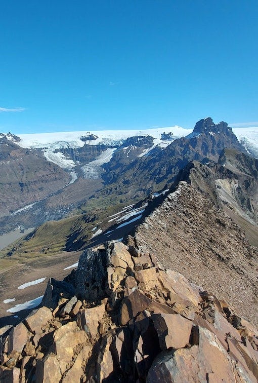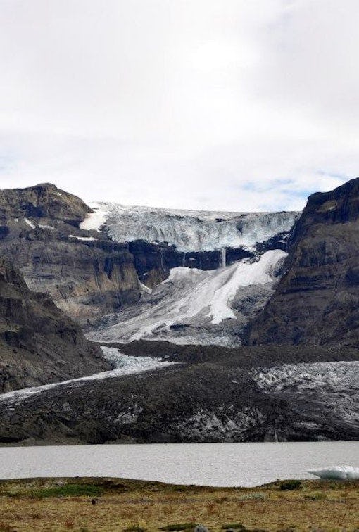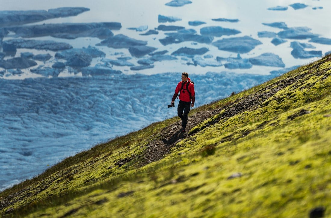
Skaftafellsheiði
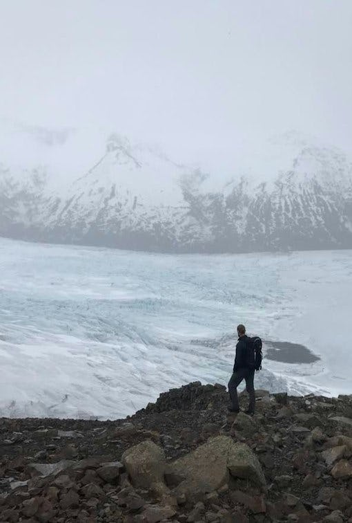
Walking around Skaftafellheiðina offers a challenging but interesting walk through a varied landscape; Lush birch forest and mountainsides with the Morsárjökull and Skaftafellsjökull glaciers on either side of the heath and the flat Skeiðarársandur in the south.
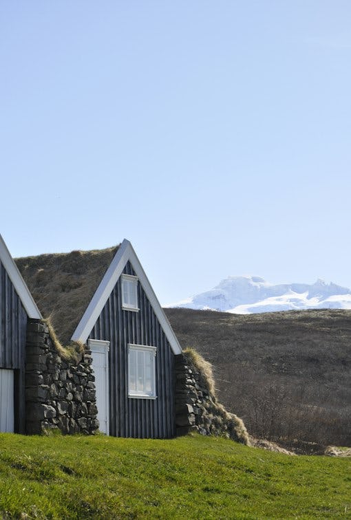
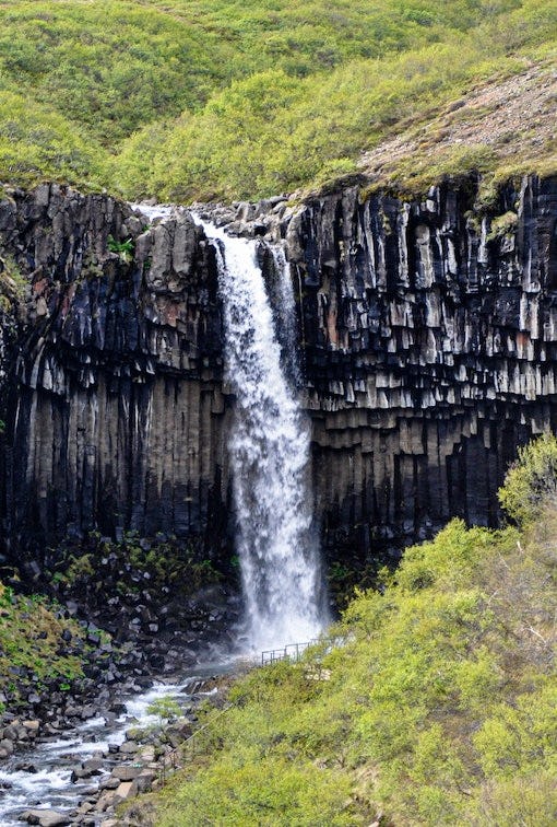
The route starts from Skaftafell Visitor Centre and is the same as if you were going to Svartifoss. It is possible to go all the way to Svartifoss and then head on to Sjónarsker, but the shortest way is to cross the river on the walking bridge next to Magnúsarfoss and from there head to Sjónarsker.
From Sjónarsker the path goes all the way towards Kristínartindar. When arriving at the crossroads at foot of Kristínartindar continue straight towards Gláma. From Gláma the path takes you down to Sjónarnípa and then onwards to the visitor centre/campground via Austurbrekkur.
Please note that the trail around Skaftafellheiði is generally impassable in the spring due to wet mud. When this happens, it is closed and the closure can last until the middle of June.
*It is ideal to walk directly to Svartafoss before walking to Sjónsker, but then the path will be longer by 250 meters.