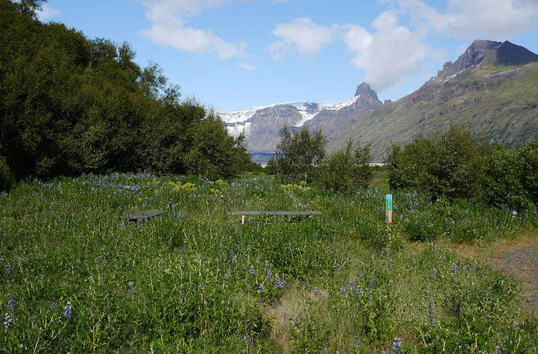
Bæjarstaðarskógur
Those who are going to Bæjarstaðarskóg can choose a marked path that leads to Jökulfell and the ravines at Bæjarstaður. From there it is ideal to walk the path through the forest and across the valley, and then follow the path along Morsá back. You can also go diagonally up Grjóthóll and Vesturheiði and back down at Bæjargil (see route M2 and M3 on the map).
Bæjarstaðarskógur is the tallest birch forest in Iceland, but it is small in size. Pine trees grow in some parts of the forest and the undergrowth is flourishing. The farm of Jökulfell is believed to have stood in this area. Here also ended the settlement of Þorgerður, a settler woman, who led her heifer from sunrise to sunset from Kvíá in the east to Jökulfell in the west.
IMPTORTANT DETAILS
There is limited telephone connection at the mouth of Morsárdal and no telephone connection at the bottom. Therefore, it is safer not to travel alone, or leave an itinerary with a trusted person who can call for help if needed.
During rains and thaws, small streams can turn into raging rivers. People have become trapped in Bæjarstaðarskógur because of this. Therefore, you have to be careful in the rains and thawing season.
Morsárdalur is mostly accessible throughout the year. In winter, however, you have to be careful because of possible ice. Also, the path that goes through Grjóthóll and Vesturheiði may be impassable due to piles of snow in the ravines.
Hiking
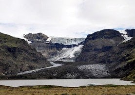
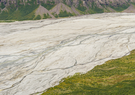
Morsárjökull
Morsárjökull is a scenic glacier in Morsárdalur valley. The ice falls of the cliff and in summer time hikers can often hear the ice falling. On top of the glacier lays a landslide from 2007.