Breiðármörk
This 15 km path runs between Fjallsárlón and Jökulsárlón.
Although the Breiðármörk trail is marked red, most of it is considered blue. The trail is marked across the sands, rocky terrain and moraines. The path is not even all the way through and can get fairly rocky at times. There are no significant elevation changes, or unbridged rivers and streams, so it should not involve any special difficulties for hikers. The trail is nearly 15 km long and you can expect about 5 hours to complete it. No drinking water can be found along the way, making it necessary to bring it with you.
Hiking
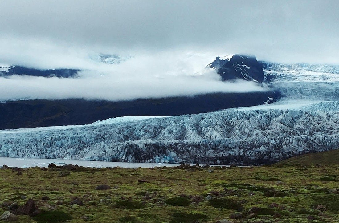
Fjallsárlón
This hiking trail goes along Fjallsárlón where you can admire the beautiful lagoon and Fjallsjökul.
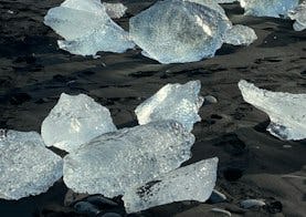
Eystri-Fellsfjara
A beautiful hiking trail that along Eystri-Fellsfjara, where you can see icebergs in the black sand.
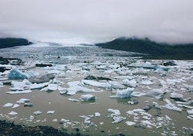
Jökulsárlón
You walk from the main parking lot north towards the glacier and up to the glacier ridge called Helguhóll.