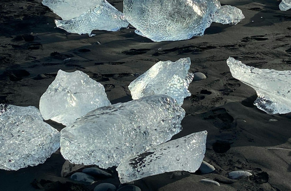
Eystri-Fellsfjara
A beautiful hiking trail that along Eystri-Fellsfjara, where you can see icebergs in the black sand.
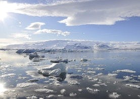
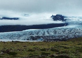
The trail goes straight south from the parking lot to the photo exhibition, the photo exhibition has photographs by Ragnar Th. The exhibition shows photos from all over the national park. From there you walk down to the beach, almost always you can find fragments of ice that have broken out of Breiðamerkurjökull, travelled down Jökulsárlón and ended up at the beach. Continuing the path west to Jökulsá and up the river. The path goes under the bridge and up to Jökulsárlón. The path along the river is called an interpretation path, and there are educational signs along the way that tourists can read about wildlife and the retreat of Breiðamerkurjökull.
Image: (journaway Rundreisen / Unsplash)