Glacier trail - Visitor trail
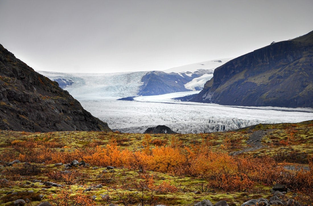
The walk along Jökulslóð is like a living history lesson about the retreat of a glacier. The landscapes shaped by glacier are prominent on the route, such as glacier gardens and kettle holes, and you can see the progress of vegetation at different levels. The trail is part of the Melting Glaciers project. Along the way, there are numbered markers that refer to the interpretation that can be found electronically below.
The trail starts next to Skaftafell Visitor Centre and is well indicated. It is paved half the way, while the latter half has a fairly comfortable gravel surface. The trail ends in close proximity of Skaftafellsjökull glacier and you will get a good view of this impressive glacier. Those who wish get closer can do so but are encouraged to follow instructions on a warning sign at the trail's end. When heading back to the visitor centre it is possible to take an alternative route by turning left on the crossroads that you arrived at some 300 m before the end point (well indicated with signs).