Askja
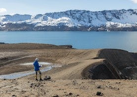
Askja is a fault trough in the central volcano Dyngjufjöll, and it is the centre of a volcanic system with multiple eruptive fissures, including the Sveinagjár crater row. The Dyngjufjöll mountains formed in eruptions under an Ice Age glacier cap whilst Askja formed for the most part at the end of the Ice Age in a major ash eruption which caused the roof of the magma chamber at the heart of the central volcano to subside. What remained was a deep circular depression that gradually began to fill with lava from subsequent eruptions around the rim of the depression. The bottom of Askja (named after its caldera shape, askja meaning caldera in Icelandic) is currently at an altitude of 1,100 metres while the rim edges are approximately 1,300 to 1,500 m above sea level. Similar formations in other central volcanoes are all referred to as askja (plural "öskjur").
Hiking trails around Askja

Vikraborgir - Öskjuvatn
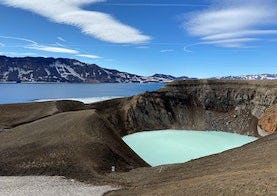
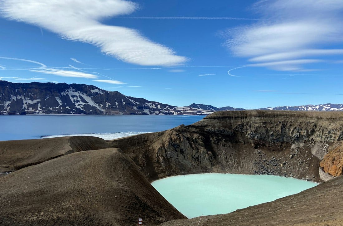
Askja eruption history, Víti, Öskjuvatn, visitors’ guest book at the monument to the Germans. Caution! The descent into Víti is slippery, and rock and mud slides may occur.