Laki
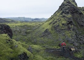
Vinsælasta gönguleiðin liggur frá bílastæðinu við þjónustuhúsin og upp á fjallið Laka. Gönguleiðin er hringleið og er aðeins á fótinn, en þegar upp er komið er stórkostlegt útsýni yfir gígaröðina.
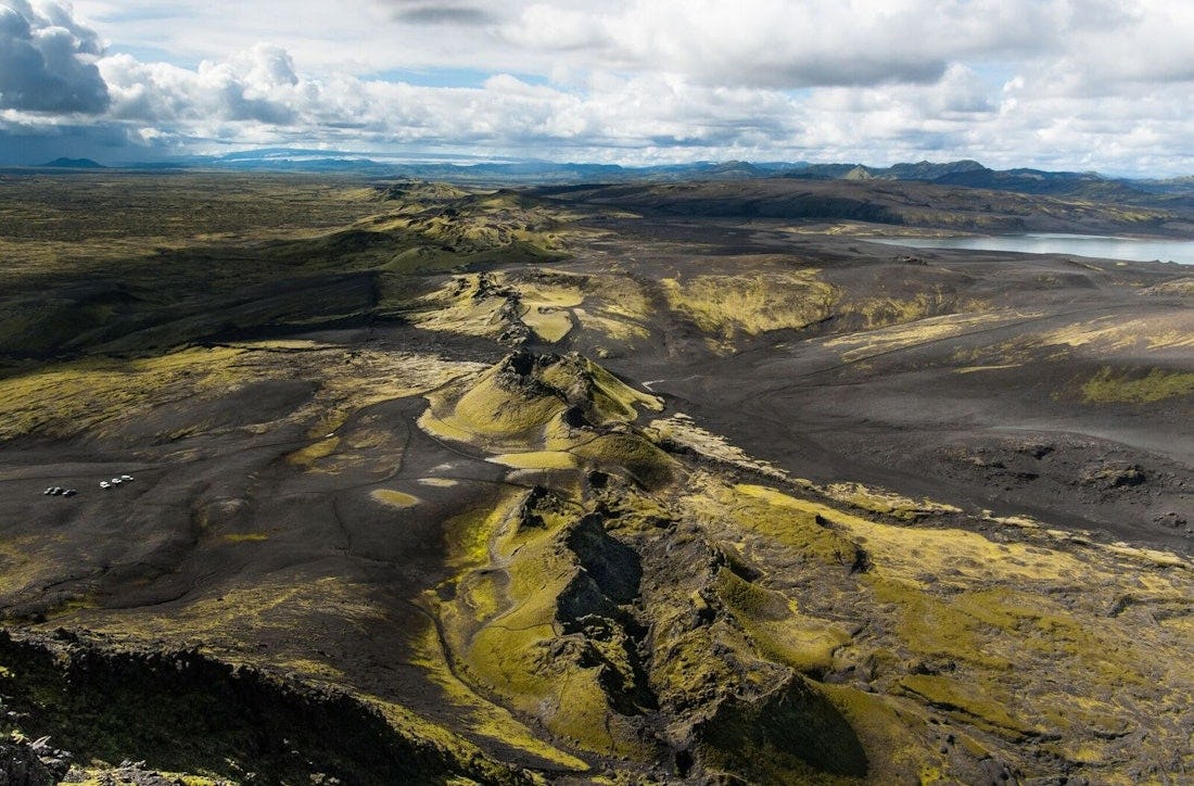
Áttunda júní 1783 hófst gos sunnan við móbergsfjallið Laka. Í dag ríkir kyrrð yfir hinum mosavöxnu, 29,5 km löngu Lakagígum. Fátt annað en stórbrotnar gígamyndanir og hraunflæmi gefa til kynna að hér séu forn upptök tortímingar. Ofan af Laka er gott útsýni yfir gígaröðina alla, bæði til norðausturs og suðvesturs og Laki stendur nokkurn veginn í miðri gígaröðinni. Margar merktar gönguleiðir liggja um Lakagíga og nágrenni en gangandi umferð utan merktra göngustíga er óheimilvegna þess hve viðkvæmur mosagróðurinn er fyrir átroðningi.
Tengdar gönguleiðir
Hraunslóð við Laka - Gestagata
Gestagata með númeruðum stikumog fræðslu um fjölbreytta náttúru Lakagíga.