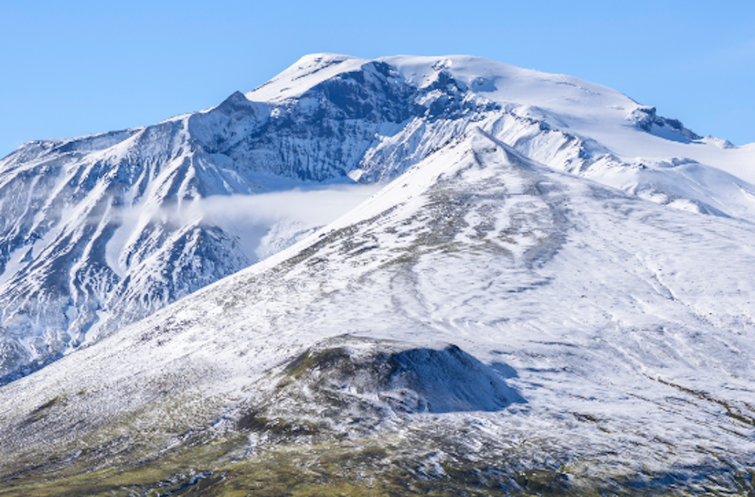
Snæfell
This route starts slightly south of the Snæfell hut and ascending from the west, it is marked with posts until the glacier is reached. Highlights: Magnificent view from the highest of any Icelandic mountain (1833 (m a.s.l.) outside of the major glaciers, geology, vegetation in a high elevation and wildlife. Some parts of the hiking trail are over loose material. Good footwear is important for hikers, and to wear warm and waterproof clothing, the summit is cold. Crampons are advisable on the mountain, and a GPS device is required when the summit is above cloud level. Let rangers in Snæfell hut know about your travel plan. Warning: The hike crosses glacier terrain special equipment and skills are required.
Connected hikes
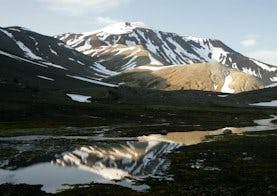
Snæfell hut – Þjófadalir valley
Starting at the parking area slightly south of Snæfell hut. Unmarked trail branches off the Snæfell trail (marked with posts), southwards into Þjófadalir. Highlights: Vegetation, wildlife, folk tales and the view over Eyjabakkar area.
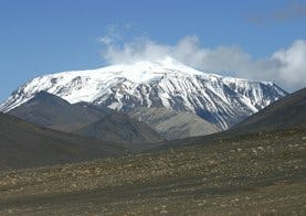
Snæfellshringurinn
Follow route S9, through Þjófadalir valley, to begin with. Then follow the high ground of Snæfellsháls, staying above Þófagilsá river until reaching the ruins of Hálskofi hut. Keep near the bottom of the Snæfell slopes until you approach the Hafursá river. Follow the river on a marked trail through Vatnsdalur valley and continue past the Tiutíu foothill („Ten-ten“, i.e. 1010m) and then onto the marked trail to Snæfell hut. Highlights: Scenic view, wetland area, vegetation and wildlife and folk tales.