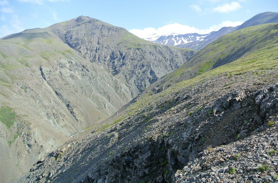
Geitafellstindur - O4
The trail follows the circular route around Geitafellsbjörg (O3) then the trail turns up the hill to Geitafellstindur.
Connected hikes
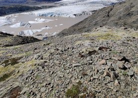
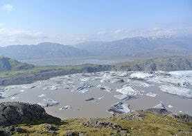
Geitafellsbjörg
A scenic circle trail around Geitafellsbjörg that can offer a good view over Hoffellsjökul and the glacier lagoon in front of the glacier.

Núpaleið
The trial follows the mountain terrain of Núpar, Hoffelsjökull glacier and Hoffell. The trail is difficult and only recommended for experienced hikers. Almost no cell signal is on the trail and the park advices hikes to leave a travel plan with Safe travel at www.safetravel.is.
Mynd: iStock (Anze Furlan)