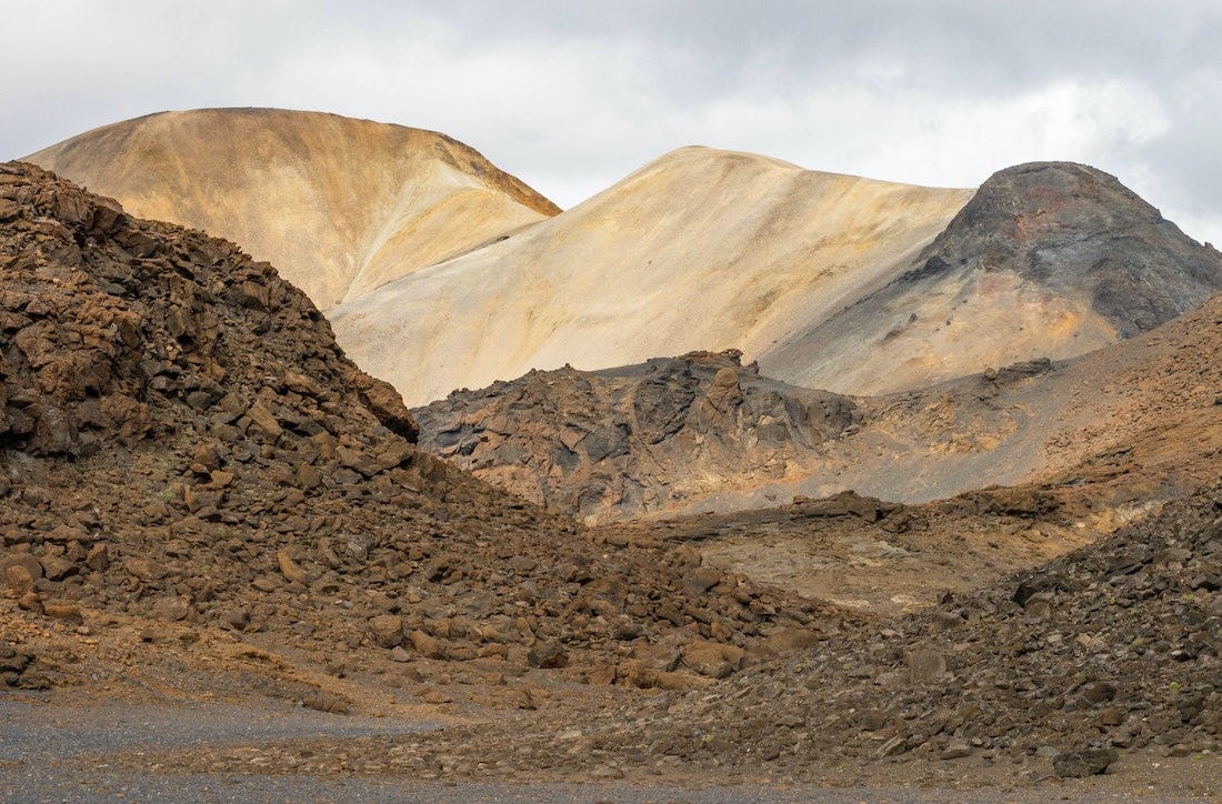
Tvílitaskarð
A circular trail around Kolufell. View over Vonarskarð, varied hyaloclastite (móberg) and rhyolite formations, peaceful mountain lake.
Connected hikes
Nýidalur - Vonarskarð - Nýidalur
The trail follows Mjóháls ridge into Vonarskarð and leads to the Hverahlíð high temperature geothermal area which has varied geothermal formations. From Mjóháls there is a magnificent view of Nýidalur and Tungnafellsjökull.
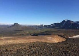
Svarthöfði - Vonarskarð
A hike over the pass between Svarthöfði and Kolufell, then along the slopes of Skrauti into Snapadalur and to the Hverahlíð high temperature geothermal area. Magnificent landscape, rhyolite screes, alpine vegetation and high temperature geothermal area. Attention: There is no cell coverage or tetra coverage in Vonarskarð.

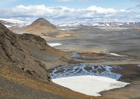
Gjósta - Vonarskarð
The trail follows Gjóstukleif, down into Vonarskarð and on to the Hverahlíð high temperature geothermal area. Views of Vonarskarð and the water-shed, barren landscape and high temperature geothermal area. Warning no cell or tetra coverage in Vonarskarð.