Tómasarhagi - Fremri Hagajökull - Háhyrna - Nýidalur
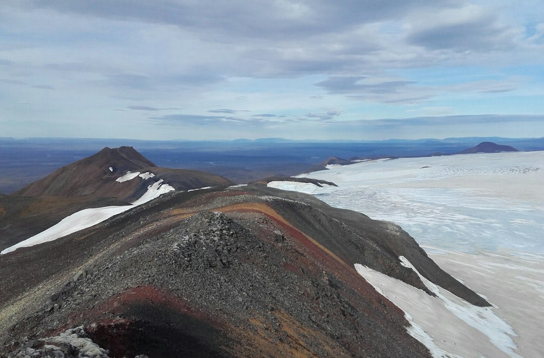
A hike to the summit of Háhyrna from Tómasarhagi.l. An ascent of 750 m. Beautiful views of Tungnafellsjökull and the central highlands.
Connected hikes
Nýjadalsá - Háhyrna
A hike to the summit of Háhyrna by way of Þvermóður or Fremri-Hagajökull; an ascent of 750 m. Beautiful views of Tungnafellsjökull and the central highlands. The car park is 4 km from Nýidalur hut.
Þvermóður
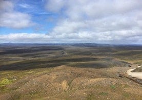
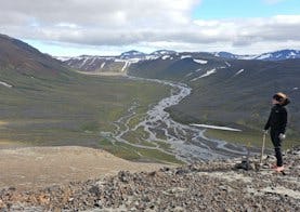
The hike starts at car park just north of Nýidalur river. The hike goes up to Þvermóður hill and down the other side and back to the car park south of the hill. From Þvermóður top there is a view point over Sprengisandur and Hofsjökull. Around Þvermóður you can find alpine vegatation and birdlife.