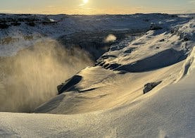
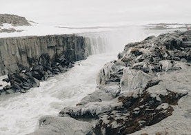
Dettifoss
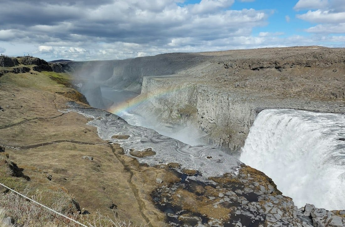
Dettifoss is the most powerful waterfall in Europe. Its enormous power can be felt if you lay your hand on a rock close to the waterfall, it vibrates! The waterfall is 44-45 m high and about 100 m wide.
In a geological sense, Iceland is a young country. Among his young country's characteristics are the numerous waterfalls that have not yet eroded the embankments in their path. Jökulsá á Fjöllum has a unique and fascinating series of waterfalls. Those waterfalls change slowly over time, and even completely disappear, which is a natural part of the lifetime of waterfalls. Above Dettifoss is Selfoss, with a drop of 10 m and below that is Hafragilsfoss with a drop of 27 m.
Dettifoss can be reached both on the eastern and western part, and both approaches have marked hiking routes. Care must be exercised whichever route is chosen. To the west, the route is by the paved road number 862, which lies between Mývatnsöræfi and Kelduhverfi. It should be kept in mind that the road has limited winter service and it is best to keep track of conditions on the website of the Icelandic Road and Coastal Administration. To the east, the waterfall can be reached by gravel route number 864. Driving on that road can be slow and it is closed when snow begins to fall in the autumn. The time when it is opened again in the spring depends on the conditions that are present at each time, and requires that wet mud has dried.
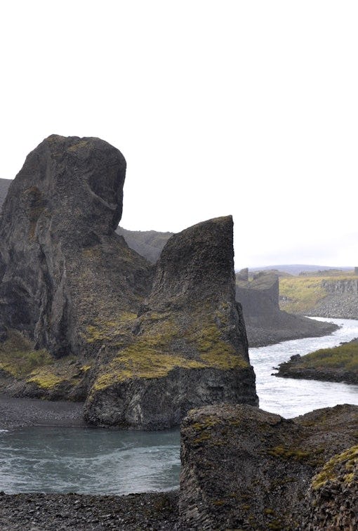
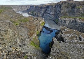
Jökulsárgljúfur is the most narrow, about 100 m wide, in a short segment to the north of Dettifoss. This narrow, 500 m long stretch was made by Dettifoss, which has carved through the land with its daily erosion that has occurred since the end of the outburst flood from the time of the natural catastrophes. The large passes were shaped by the outburst floods and glacial river over recent millennia.
There were ideas about harnessing the power of the water in the passes, but these were abandoned due to the fact that the lava formations are too porous to hold water in a reservoir. On the east bank of the Jökulsá canyons, near Hafragilsfoss, a cross section of a volcanic fissure named Randarhólar exposes the feeder dike in the cliff wall.
Hiking trails around Dettifoss
Dettifoss
Dettifoss er kraftmesti foss Evrópu. Ógnarkraftinn má finna með því að leggja lófa við klappir nálægt fossinum og finna hvernig bjargið titrar. Hægt og bítandi grefur hann sig í gegnum fossbrúnina og færir þannig sjálfan sig sífellt sunnar eða um hálfan meter á ári.
Frá bílastæðinu að útsýnisstað við Dettifoss er um 1 km ganga (aðra leið). Þaðan er hægt að ganga sömu leið tilbaka á bílastæðið.
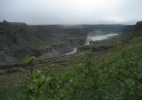
Dettifoss and Selfoss
Contrasting landscape is one of the main characteristics of Jökulsárgljúfur. This trail reveals the most powerful waterfall in Europe, Dettifoss, against the humble and beautifully shaped Selfoss waterfall. From the parking area to Dettifoss is a 1 km walk (one way). It is possible to go the same way back. However, it is interesting to keep on south, along the riverbank towards Selfoss and then go the more westerly route back to the parking area and close the circle.
Hafragil lowland
The area in and surrounding Hafragil lowland contains the most difficult but also the most facinating hiking trails in Jökulsárgljúfur and caution should be exercised since the trail is steep and there is a risk of falling rocks.
Ásbyrgi to Dettifoss - Canyon Trail
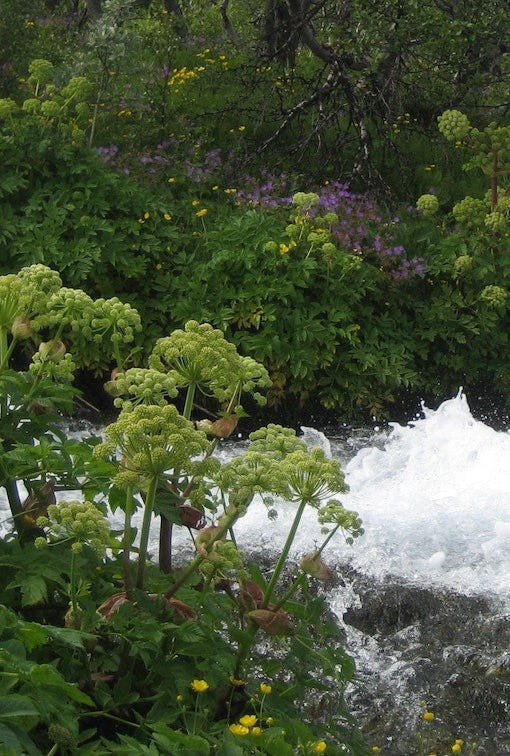
The trail between Ásbyrgi and Dettifoss is 32 kilometers through Jökulsárgljúfur canyoun. Points of interest Jökulsárgljúfrum. Hiking up along the Jökulsárgljúfur canyon, from the luxuriant Ásbyrgi to the barren but magnificent environment around Dettifoss, is a unique experience for every hiker. The diversity of the landscape is unique and captures the eye at every footstep: tremendous gorges, quiet ponds, clear springs, rough river, luxuriant forests and bare gravel plains. Two days are recommended for the whole hike. On the route there are no cabins and it is only allowed to camp on the park campsites at Vesturdalur and Dettifoss.