Askja & Herðubreiðarlindir
About Askja and Herðubreiðarlindir Springs
- Come visit
About Askja and Herðubreiðarlindir Springs
- Come visit
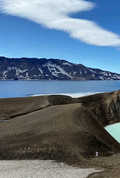
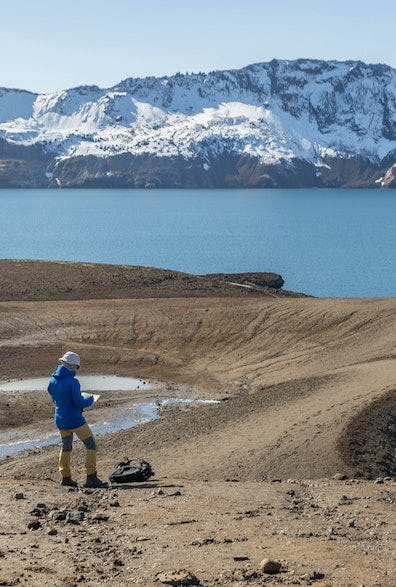
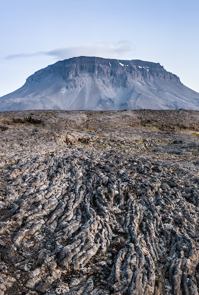
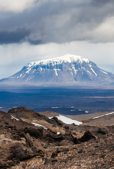
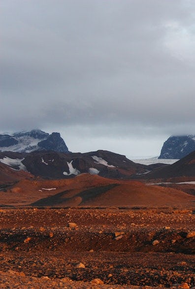
Askja is a caldera (sunken crater) within the central volcano in the Dyngjufjöll Mountains. The Dyngjufjöll mountains formed in eruptions under an Ice Age glacier cap whilst Askja formed for the most part at the end of the Ice Age in a major ash eruption which caused the roof of the magma chamber at the heart of the central volcano to subside. What remained was a deep circular depression that gradually began to fill with lava from subsequent eruptions around the rim of the depression. The bottom of Askja (named after its caldera shape, askja meaning caldera in Icelandic) is currently at an altitude of 1,100 metres while the rim edges are approximately 1,300 to 1,500 m above sea level. Similar formations in other central volcanoes are all referred to as askja (plural "öskjur").
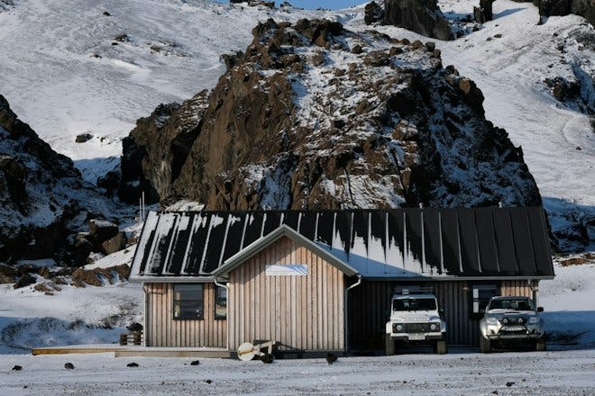
Infrastructure, information and services
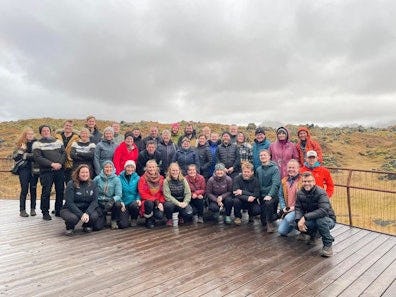
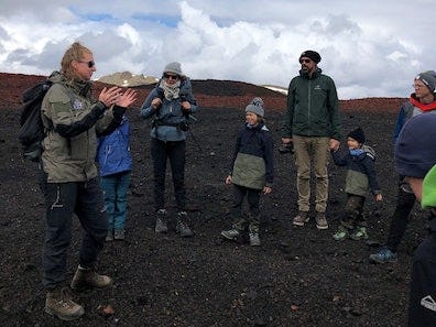
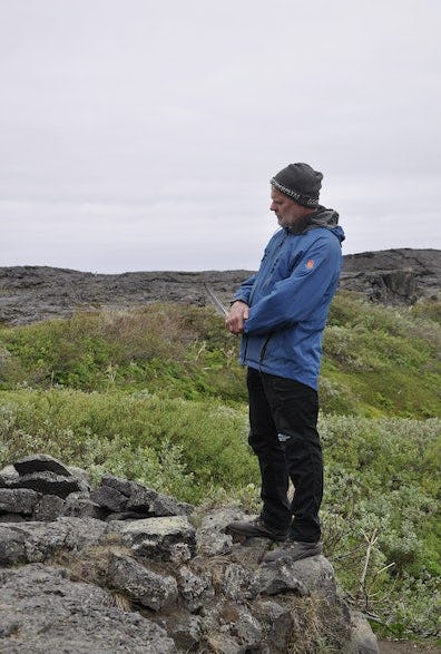
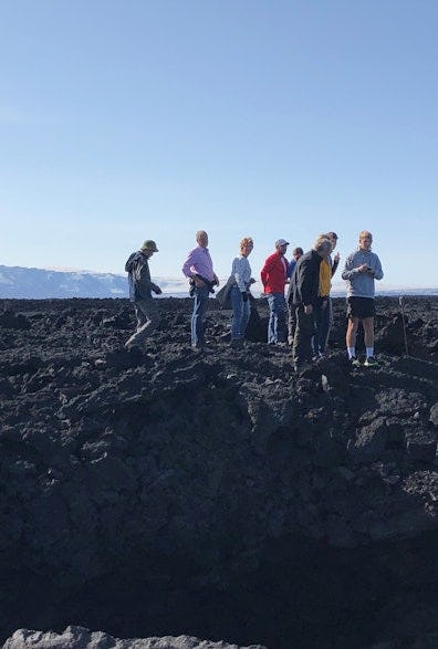
During the summertime, park rangers are stationed at Drekagil and Herðubreiðarlindir Springs. They provide information and interpretation and they supervise the highlands north of Vatnajökull. There is a parking lot and toilet facilities at Vikraborgir by Askja. During high season, a ranger is on site daily at Askja and guides visitors on organised walking tours.
Accommodation
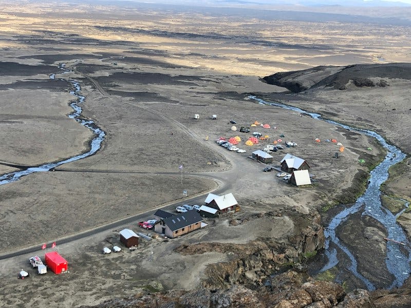
The Touring Club of Akureyri operates a campsite and cabins at Herðubreiðarlindir Springs and Drekagil near Askja. There is accommodation for 55 people at Dreki, a campsite and toilet facilities with showers. At Herðubreiðarlindir Springs, there is accommodation for 25 people, a campsite and toilets. The Club owns other cabins in the area at Bræðrafell and Dyngjufjalladalur, and reservations must be made through the Club.
The Touring Club of Fljótsdalshérað and the Touring Club of Húsavík operate the Sigurðarskáli cabin in the Kverkfjöll mountains. A campsite is located by the cabin. There is also a flush toilet and showers. There are no shops, restaurants or gas stations in either the Kverkfjöll mountains or Askja.
Other cabins in the area include Kistufell, which the search and rescue team Stefán operates.
Nature & history
- Learn & explore
Nature & history
- Learn & explore
Effects of volcanic eruptions
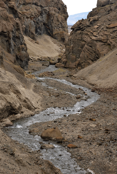
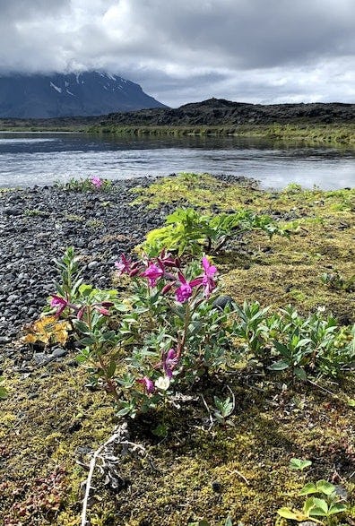
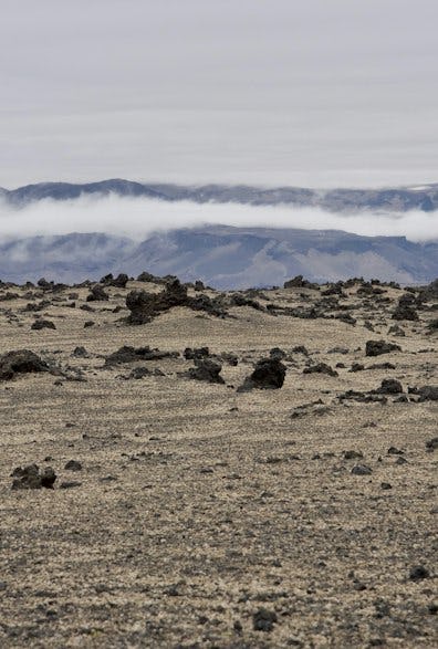
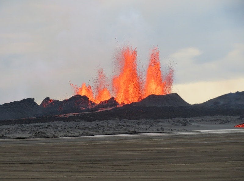
The effects of volcanic eruptions in the northern highlands are evident in both the land and the people. Volcanic materials from eruptions in the area travel great distances with accompanying ashfall and air pollution. When Askja erupted in 1875, pumice and ash was carried a long way, destroying vegetation and causing people to abandon settlements in Jökuldalsheiði and elsewhere. These natural disasters were a major impetus for Icelandic immigration to North America. The 2014-2015 eruption in Holuhraun was a reminder of the tremendous power of volcanic eruptions, and released large amounts of toxic gases that significantly damaged the air quality in settlements all around the glacier.
Askja
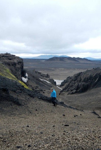
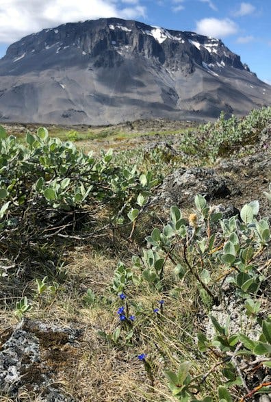
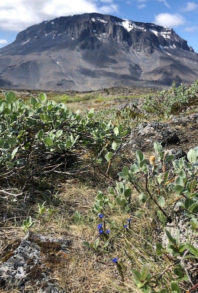
There have been several eruptions in Askja in recorded history, which was one of the factors that drove people away from East Iceland after 1875. The most recent eruption in Askja was in 1961, forming the Vikrahraun lava field. American astronauts trained in this area because the terrain was believed to be similar to that of the Moon. The breath-taking, magnificent landscape around Askja is unforgettable to all those who visit the mountain.
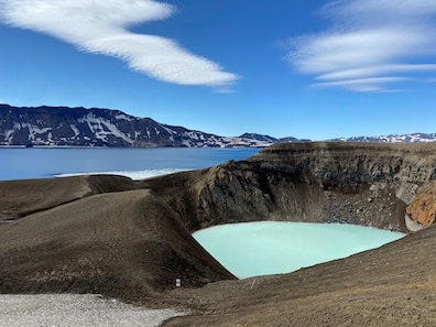
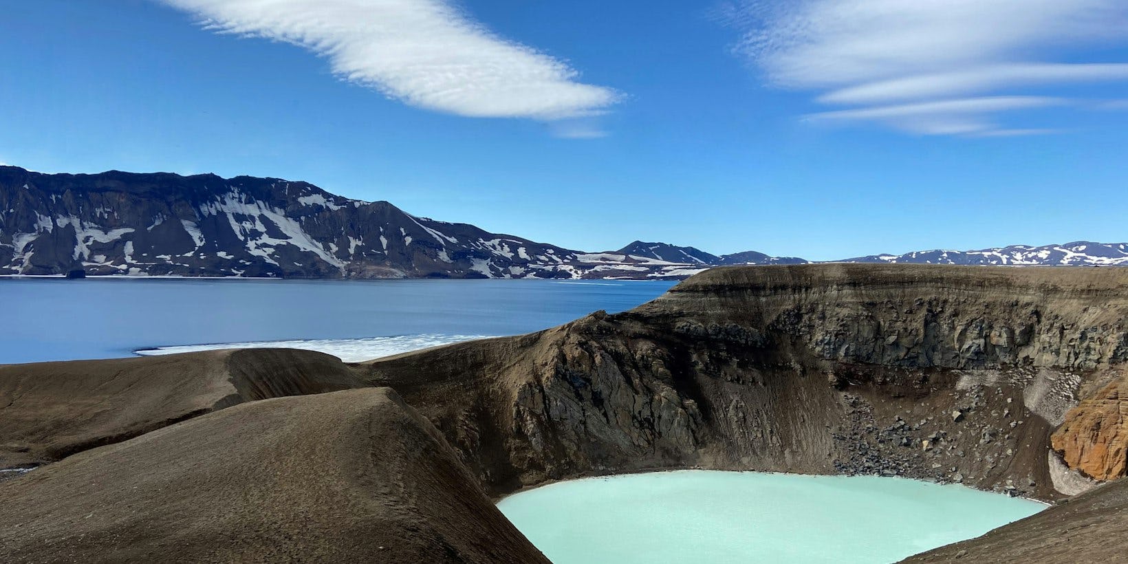
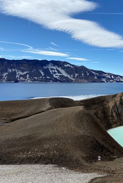
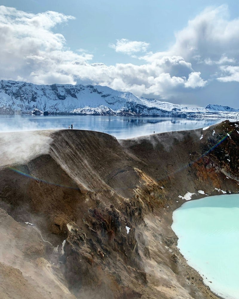
The bottom of Askja is covered with rough 'a'ā lava. In the southeast corner is Lake Askja, which formed when the roof of the magma chamber subsided after eruptions in 1875. Lake Askja is the deepest lake in Iceland with a depth of more than 200 m. In fact, the caldera contains several volcanoes, including Víti, a maar (explosive volcanic crater) formed at the end of the eruption in 1875. Water has accumulated in Víti. Its temperature varies according to the amount of meltwater discharged into it in springtime, but is usually above 20°C. The depth of the water is greatest at the centre, more than 8 metres. Víti is a popular bathing site, but if you plan on taking a dip, please be aware that the sloping path is very slippery in wet conditions and the mud at the bottom is quite hot, especially on the eastern bank. There is also a danger of rocks falling from the edges.