Bæjarstaðarskógur - M1
In this description, it is assumed that you are going into Bæjarstaðarskóg by bike.
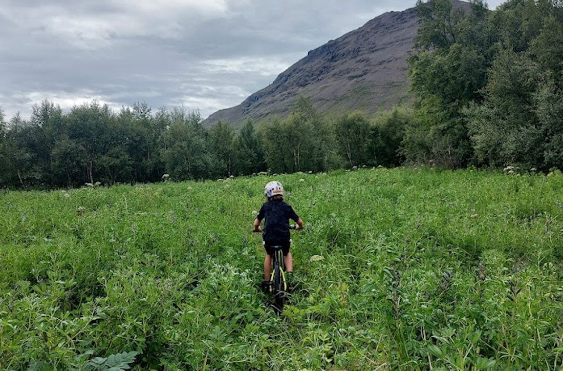
From Skaftafellsstofa, you cycle along the campsite and continue west under the heath until you reach Lambhagi, where you cross the stream on a footbridge and continue over Stórilækur on two footbridges. Immediately after the second bridge, turn south and ride across the road. The path is followed on the meadows and in the old riverbed of Skeiðará, all the way to the southern footbridge over Morsá.
From Bæjarstaðarskógur, you cycle past Réttargil and Vestragil to the foot of Jökulfell, and from there diagonally across the sand to the inner footbridge on Morsá at Götugil under Skaftafellsheiði. When you get to the lower bridge, the path follows the same path to Skaftafellsstofa past Lambhagi.
Bæjarstaðarskógur is the tallest birch forest in the country, but it is small in size. Pine trees grow in some parts of the forest and the undergrowth is flourishing. The farm of Jökulfell is believed to have stood in these areas. Here also ended the settlement of Þorgerður, a settler woman, who led her heifer from sunrise to sunset from Kvíá in the east to Jökulfell in the west.